Houston was incorporated in 1837 under the ward system of representation. The ward designation is the progenitor of the nine current-day Houston City Council districts. Locations in Houston are generally classified as either being inside or outside the Interstate 610 Loop. The inside encompasses the central business district and many residential neighborhoods that predate World War II. More recently, high-density residential areas have been developed within the loop. The city's outlying areas, suburbs and enclaves are located outside of the loop. Beltway 8 encircles the city another 5 miles (8.0 km) farther out.
Though Houston is the largest city in the United States without formal zoning regulations, it has developed similarly to other Sun Belt cities because the city's land use regulations and legal covenants have played a similar role. Regulations include mandatory lot size for single-family houses and requirements that parking be available to tenants and customers. Such restrictions have had mixed results. Though some have blamed the city's low density, urban sprawl, and lack of pedestrian-friendliness on these policies, the city's land use has also been credited with having significant affordable housing, sparing Houston the worst effects of the 2008 real estate crisis. The city issued 42,697 building permits in 2008 and was ranked first in the list of healthiest housing markets for 2009.
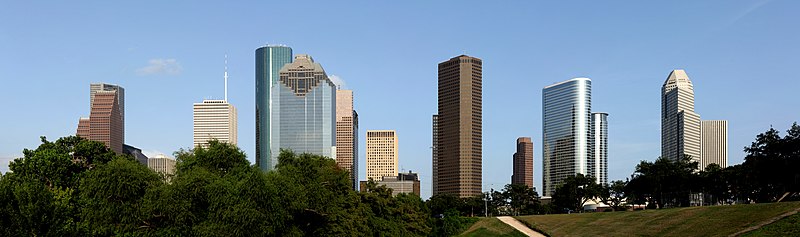
Voters rejected efforts to have separate residential and commercial land-use districts in 1948, 1962, and 1993. Consequently, rather than a single central business district as the center of the city's employment, multiple districts have grown throughout the city in addition to downtown which include Uptown, Texas Medical Center, Midtown, Greenway Plaza, Energy Corridor, Westchase, and Greenspoint.
No comments:
Post a Comment